Discover Nainital :
Customizable Map
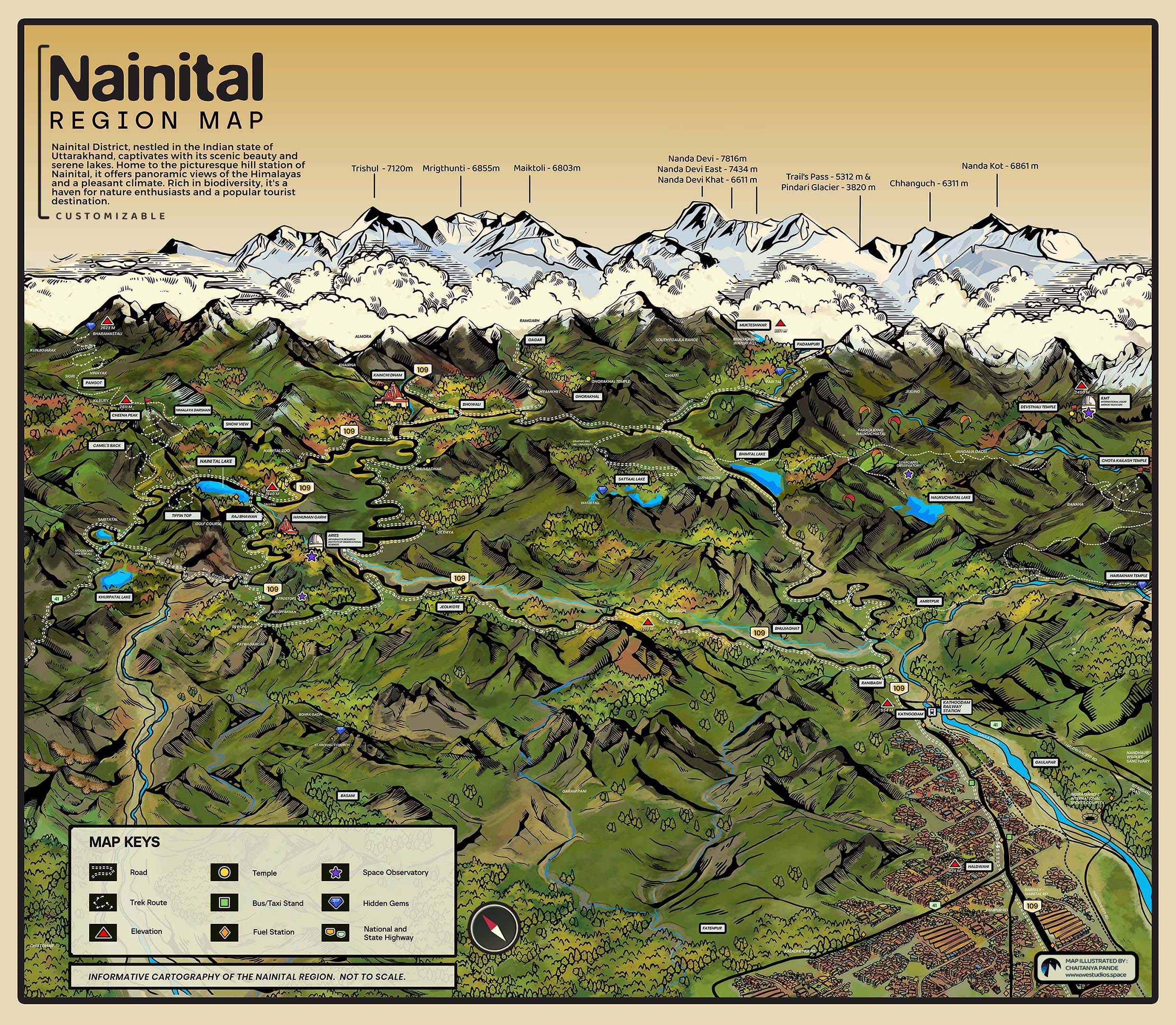
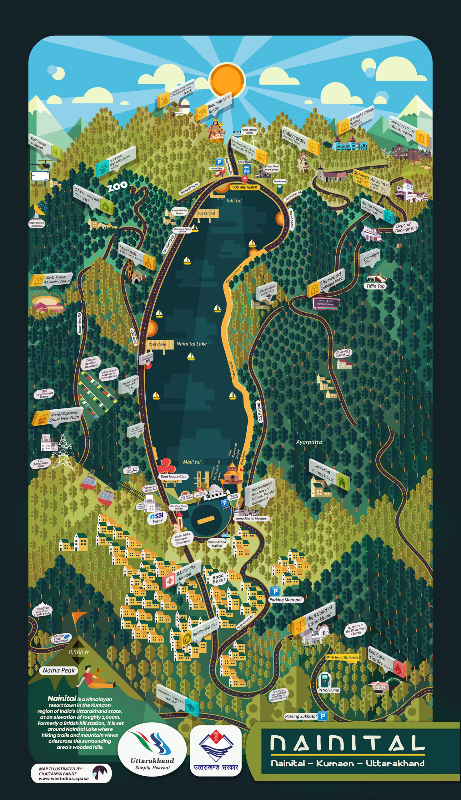
Introducing our meticulously crafted cartography map of Nainital district, an essential tool for businesses, tourists, and local enthusiasts.
This detailed map showcases the geographical diversity, key landmarks, and infrastructural nuances of the picturesque Nainital region.
The Map can be customized to highlight specific locations and can be branded with your business name and logo.
Features at a Glance
Detailed Topography
- Captures the majestic Himalayan ranges, vividly showcasing their natural beauty and grandeur.
- Accurately represents the physical landscape, including mountains, lakes, rivers, and valleys.
Comprehensive Coverage
- Includes all major locations such as Haldwani, Nainital, Sukhatal, Naukuchiyatal, Bhimtal, Kainchi, Pangot, and Jeolikot.
- Highlights popular tourist spots, hidden treasures, and lesser-known gems for the adventurous explorer.
Infrastructure Mapping
- Clearly marked roads, highways, and transportation hubs for easy navigation.
- Highlights important civic amenities such as hospitals, schools, and government offices.
Customization Options
- Personalize the map with your business name and logo.
- Highlight specific locations or areas of interest, making it ideal for travel agencies, hospitality businesses, and local services.
Aesthetic Appeal
- Designed with a blend of traditional cartographic techniques and modern aesthetic sensibilities.
- Available in various formats and sizes to suit your needs.
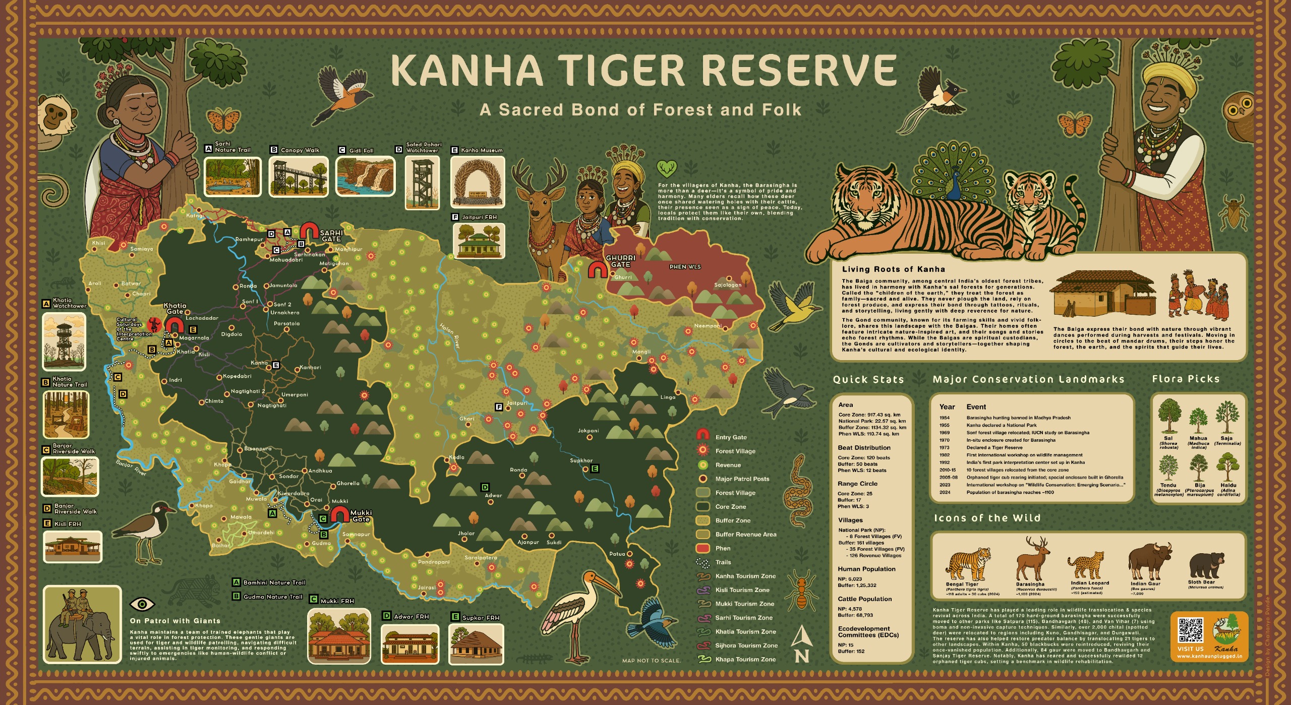
Kanha Tiger Reserve
A Sacred Bond of Forest and Folk
Informative Map
Project for MP Forest Department
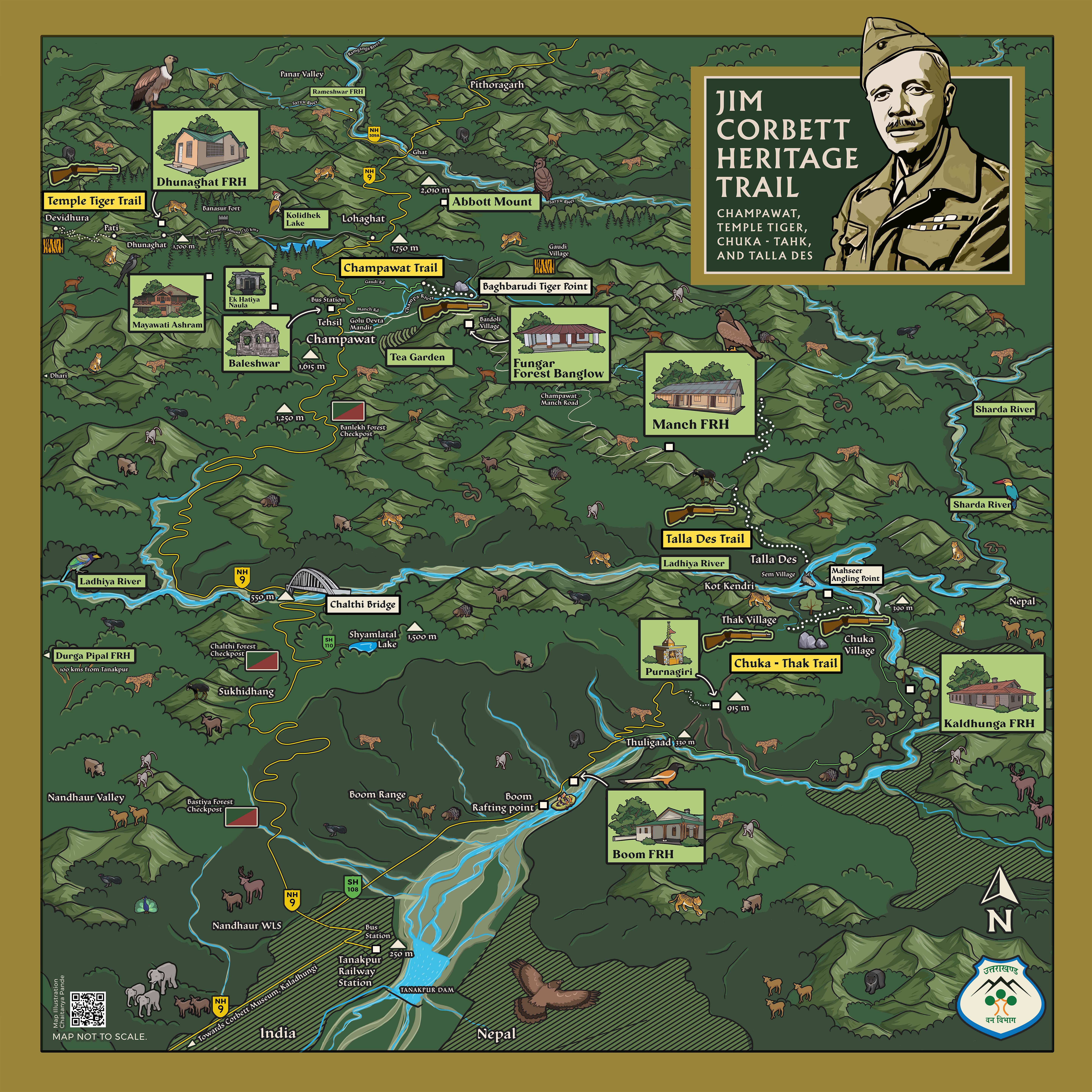
Jim Corbett Heritage Trail
Champawat, Temple Tiger, Chuka-Thak, & Talla Des
Project for Uttarakhand Van Vibhag
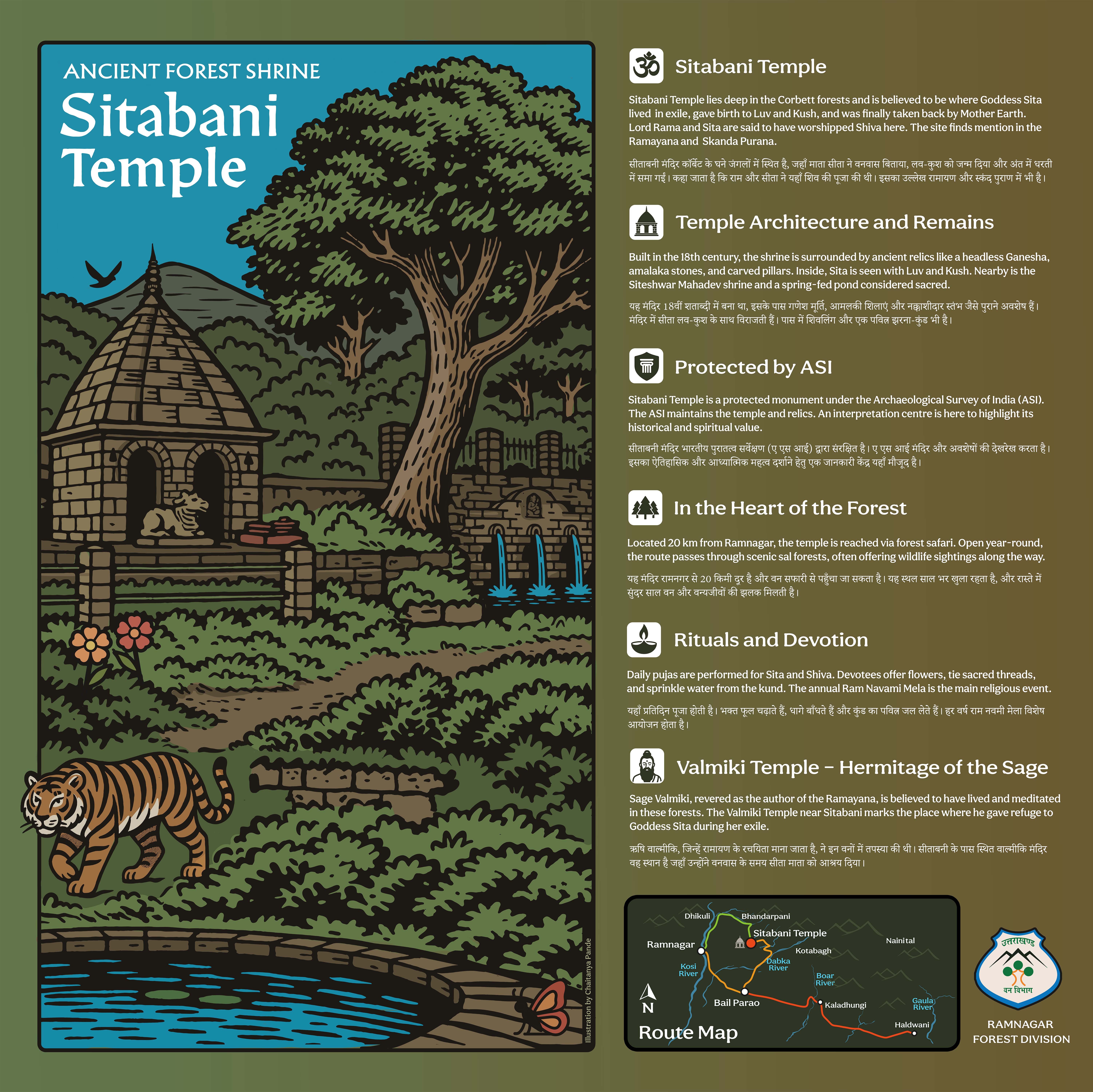
SItavani Temple
(प्राचीन मंदिर सिताबनी)
Illustration with Map
Project for Uttarakhand Van Vibhag
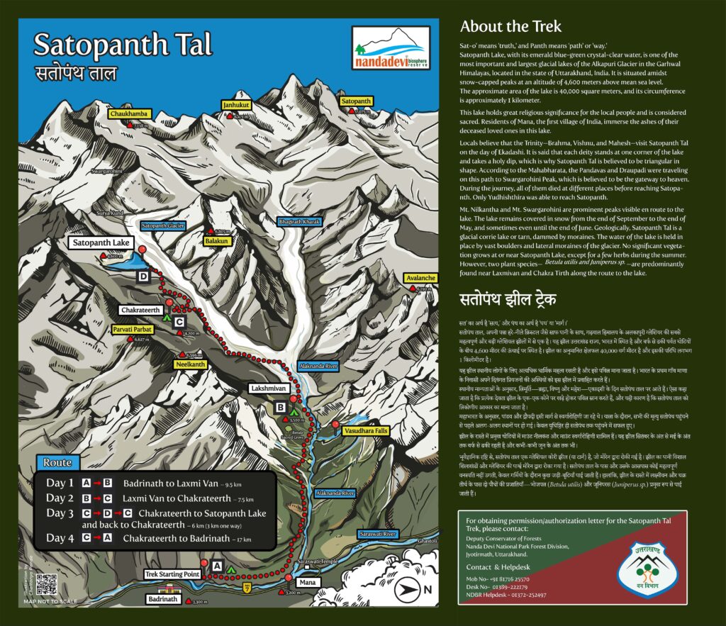
Satopanth Lake (सतोपन्थ ताल)
Trek Route
Project for Uttarakhand Van Vibhag
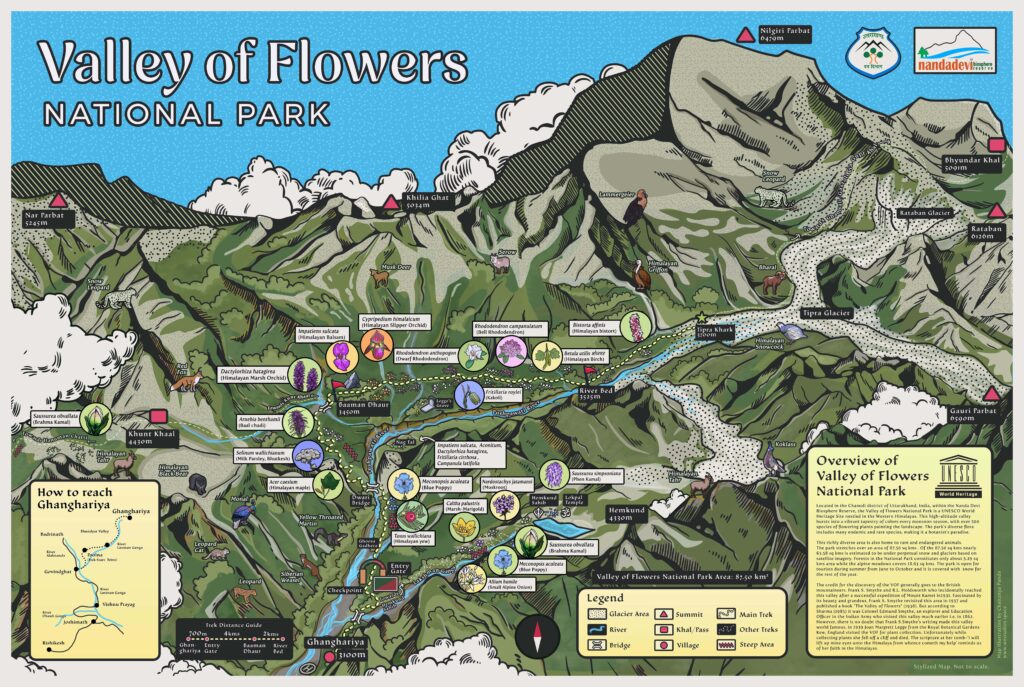
Valley of Flowers National Park
UNESCO World Heritage Site
Project for Uttarakhand Van Vibhag
CORBETT HERITAGE SAFARI Infographic Map
Project for Uttarakhand Van Vibhag

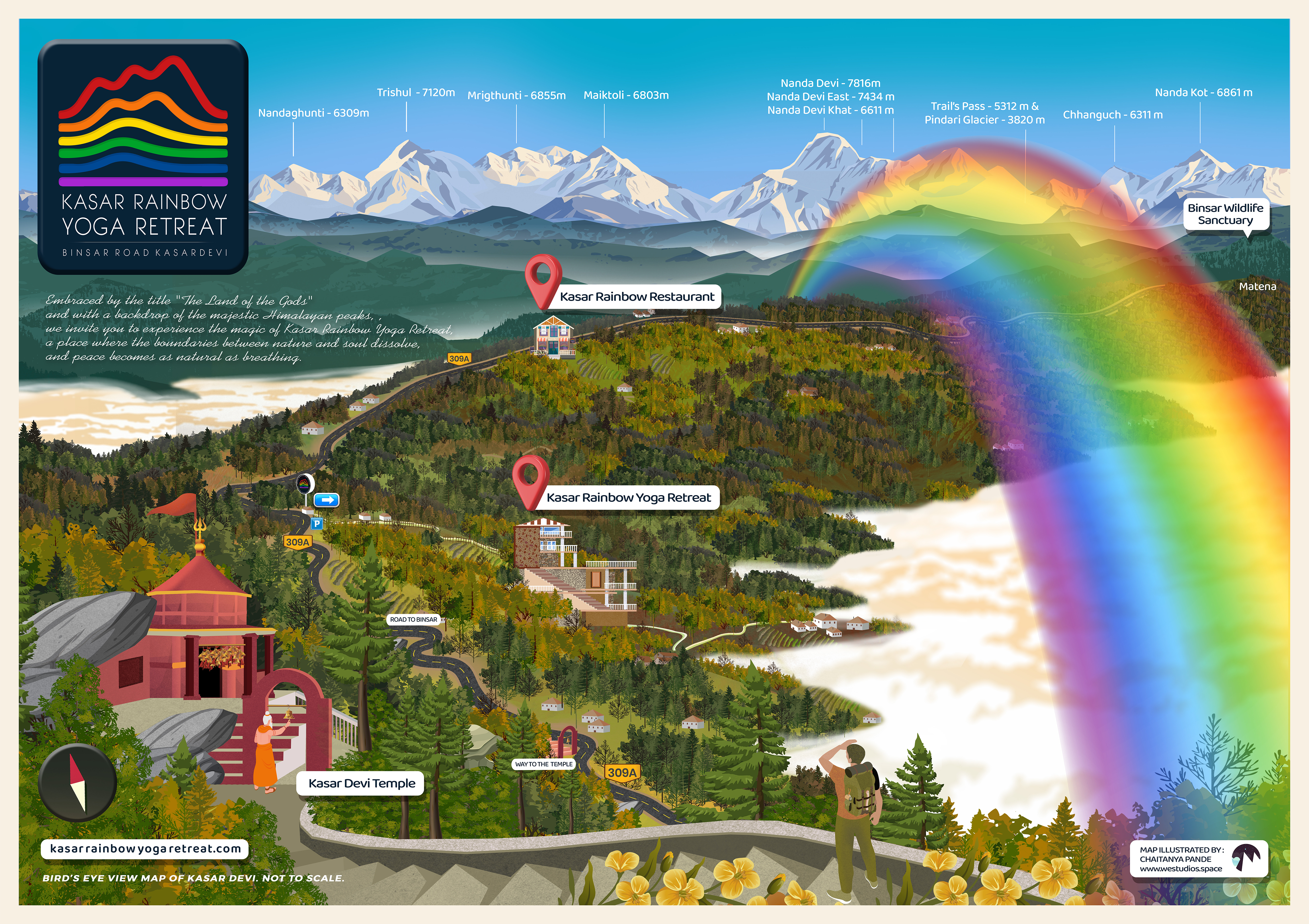
Kasar Rainbow Yoga Retreat
KasarDevi Infographic Map
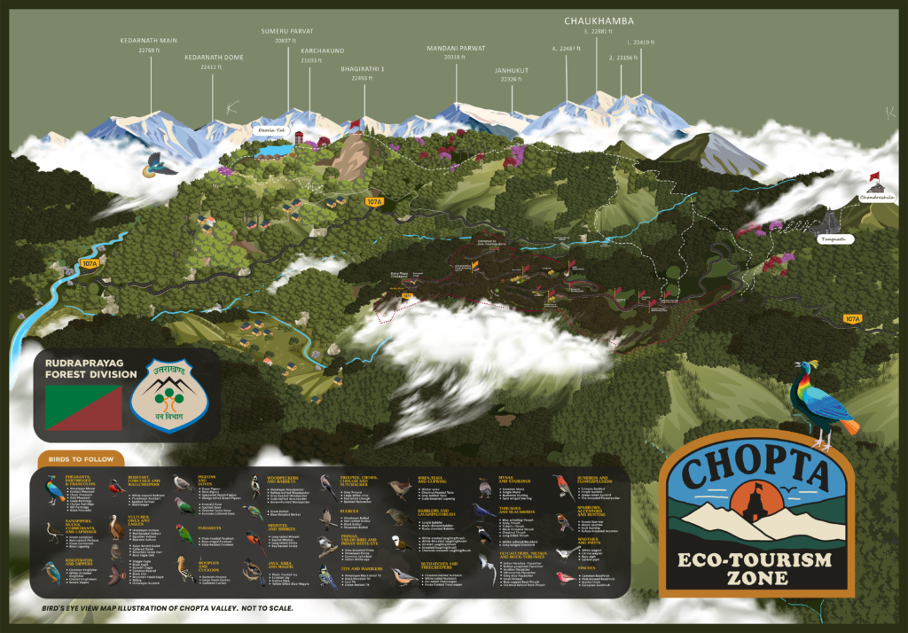
CHOPTA Eco-Tourism Zone Infographic Map
Project for ArtBox Design Studio
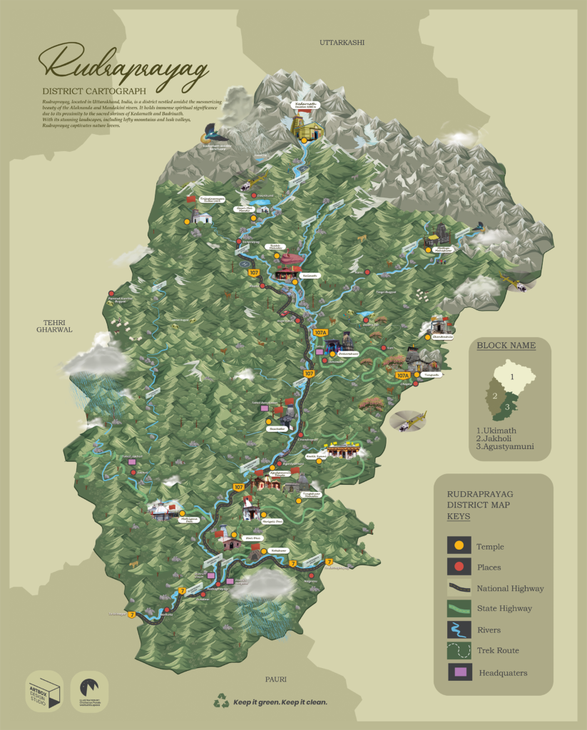
Rudraprayag District Infographic Map
Project for ArtBox Design Studio
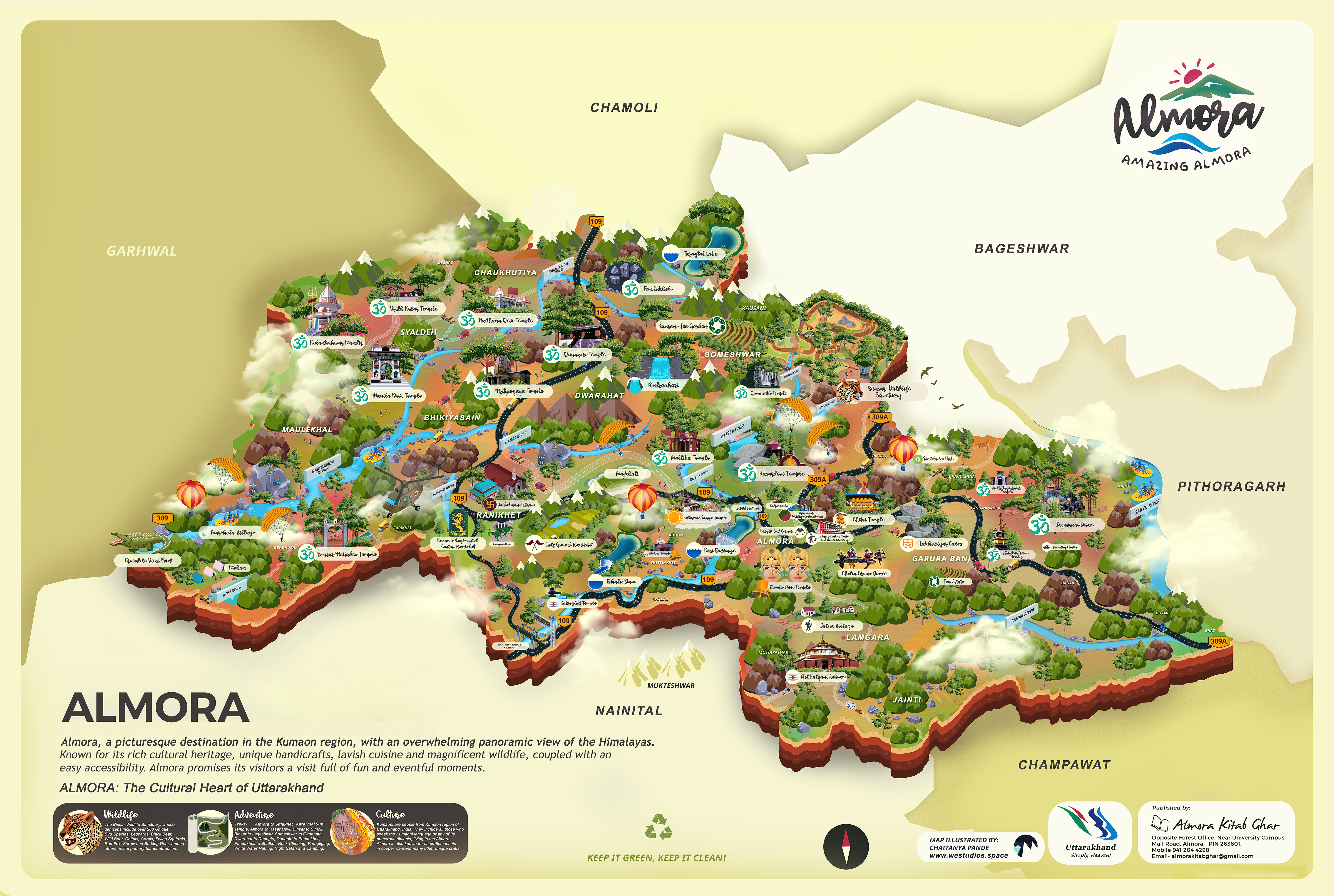
Almora District Infographic Map
Project for Almora District Administration and Uttarakhand Tourism
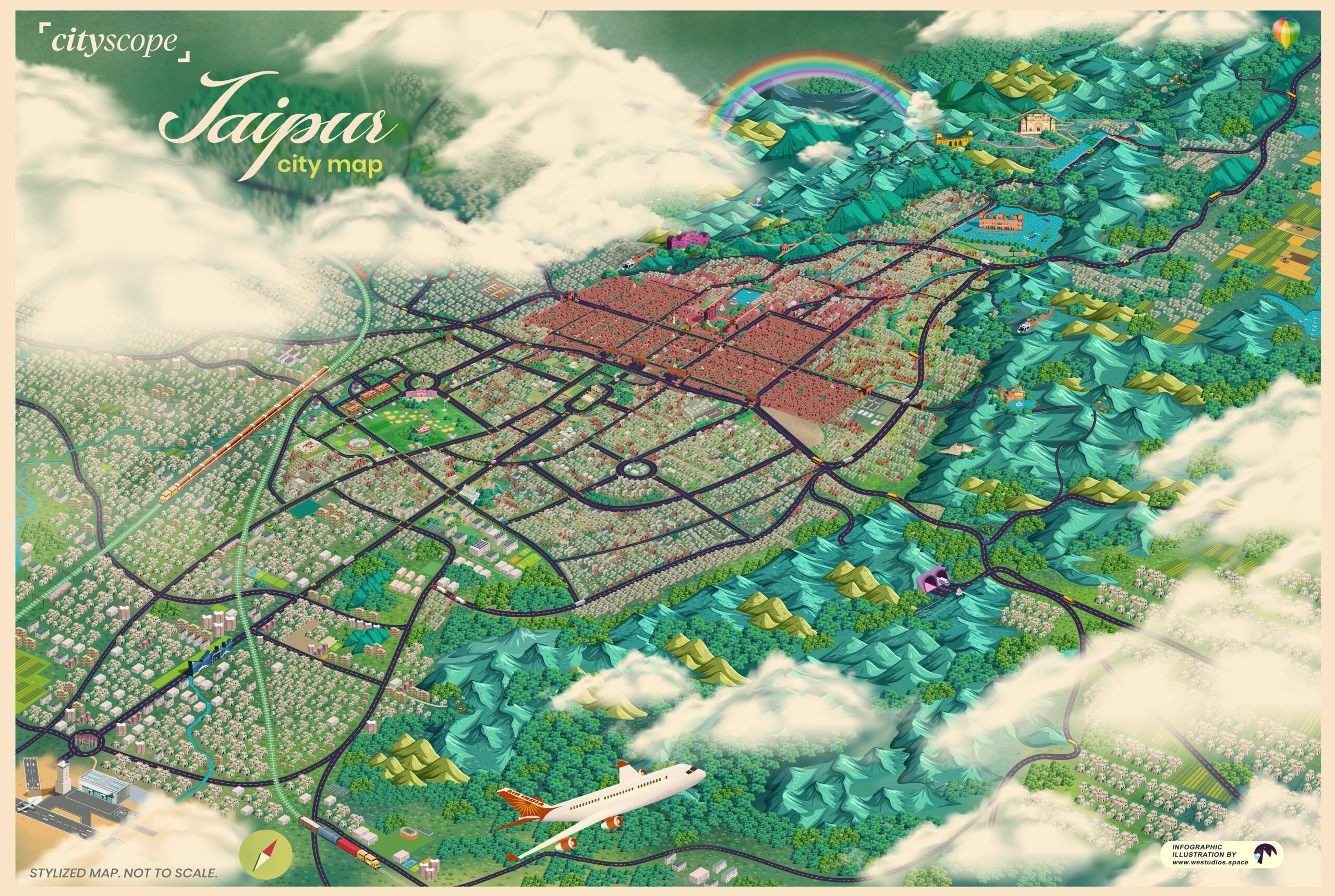
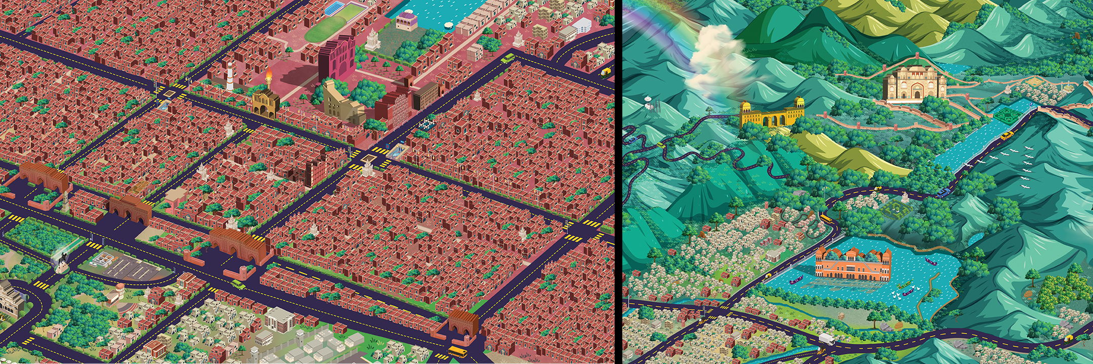
Jaipur City Infographic Map
Project for Cityscope.media
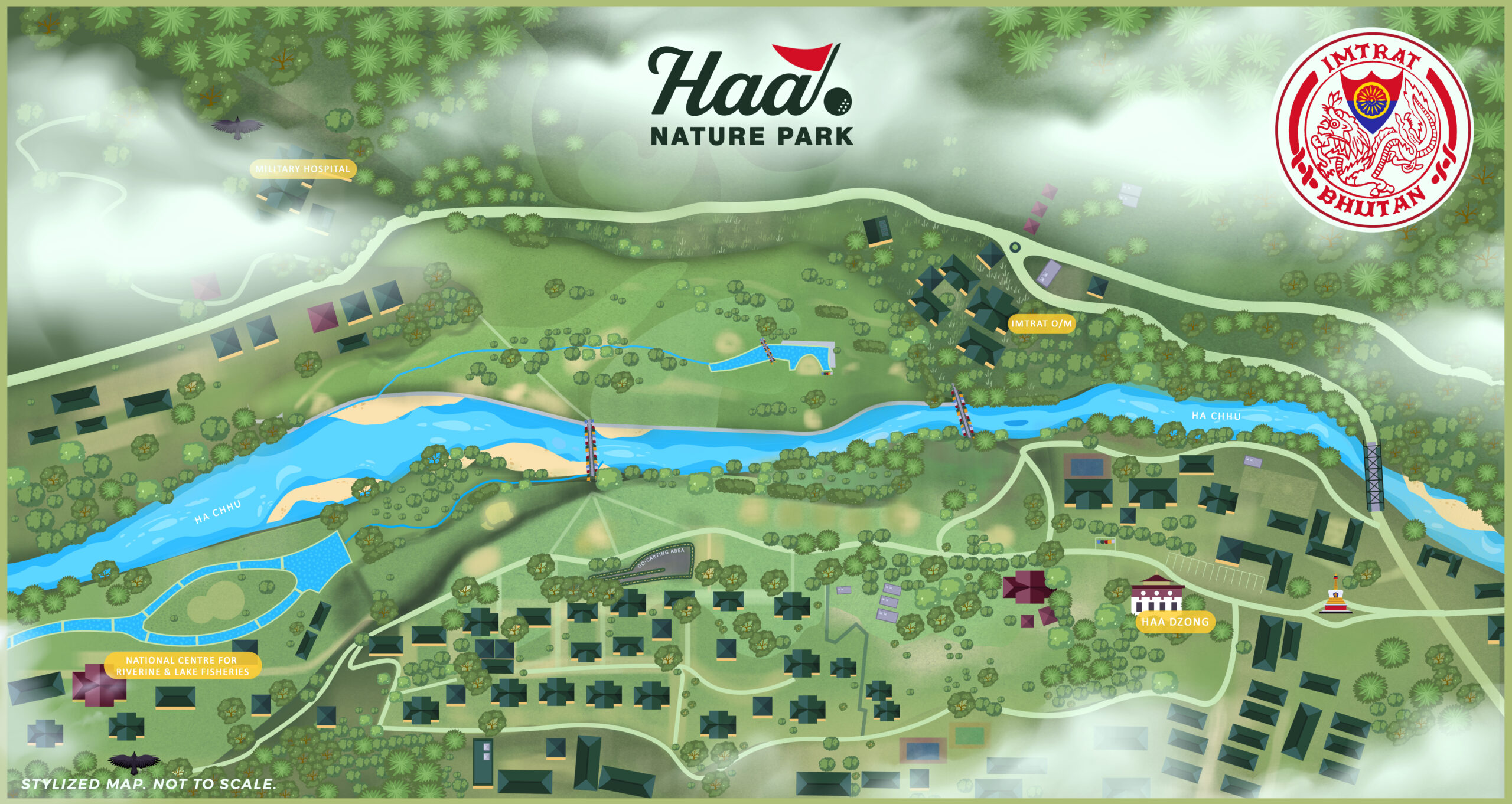
Haa Golf Course Bhutan Map
Haa Golf Course Bhutan Map
Project for IMTRAT Bhutan
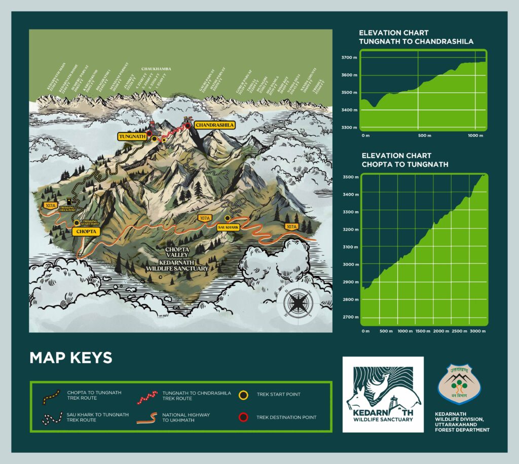
Chopta – Tungnath -Chandrashila Trek Map
Project for Akshay Joshi Design Studio
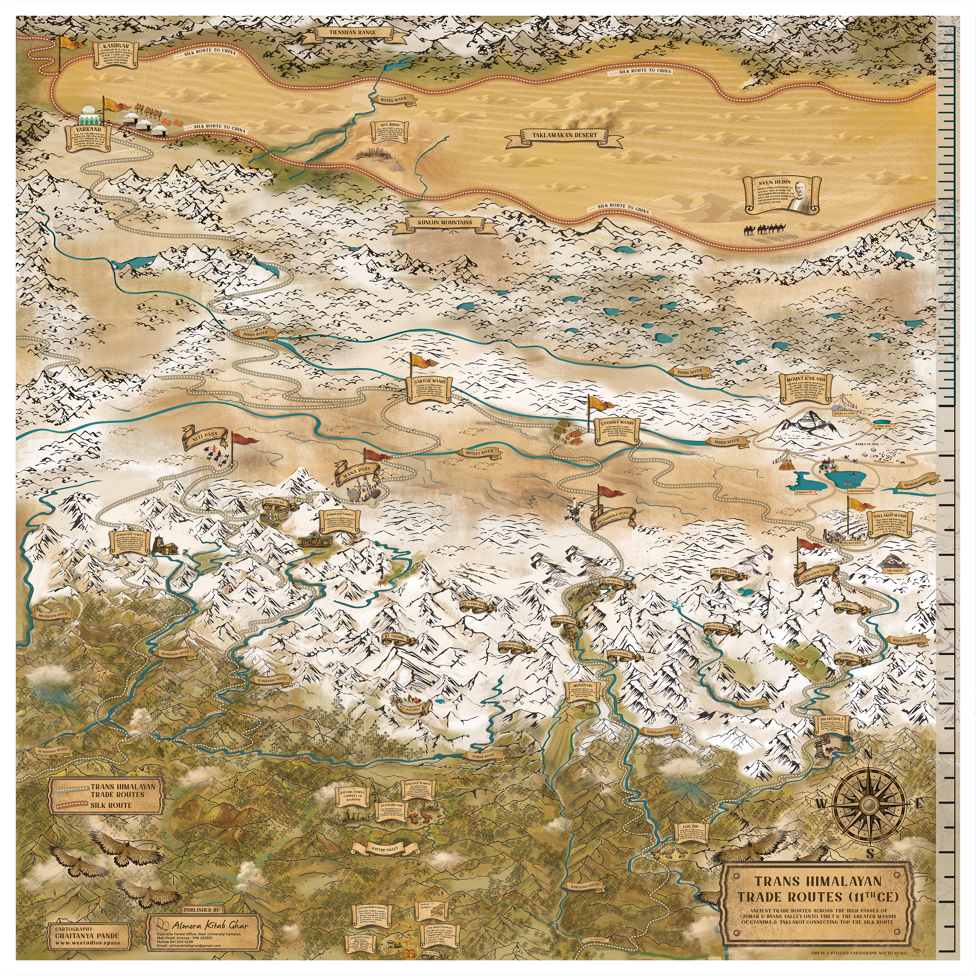
Trans Himalayan Trade Routes 11CE Cartograph
Trans Himalayan Trade Routes 11CE Cartograph
Project for Almora Fort by Almora District Adminitration
Nainital Town Map Illustration
Project for Nainital District Administration and Uttarakhand Tourism
Mountain Magic Amusement Park Map Illustration
Project for Mountain Magic Amusement Park
